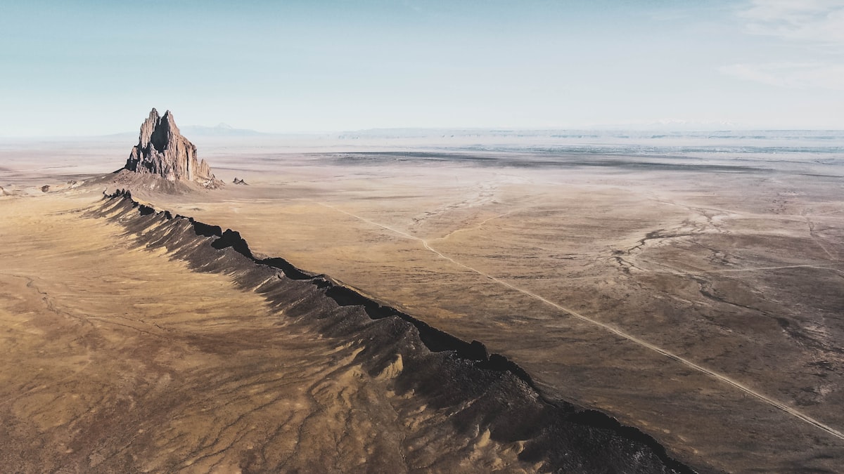
Every Environment. Every Sensor. Every Frame.
Purpose-built video training data for UAV, drone, and autonomous systems teams. RGB, stereo, thermal, and fisheye video with onboard GPS, accelerometer, and gyroscope logs captured at source on every submission — across 8 real-world environment types worldwide. What academic datasets like VisDrone and EuRoC MAV can't: on-demand, custom-briefed, rights-cleared data with richer sensor metadata for your exact brief.
8 real-world environment types
No simulator covers every condition your UAV will hit in the field. Our contributors capture across every major environment type, at global scale.
Urban & dense city
Agricultural & open field
Forest & dense vegetation
Industrial & infrastructure
Mountainous & uneven terrain
Coastal & waterfront
Disaster & search & rescue zones
Road, highway & transit
What you get with every dataset
Fully packaged datasets for perception model training, SLAM development, and autonomous navigation — with the documentation enterprise and defence teams require.

Verifiable Provenance
A tamper-evident record on every asset: who captured it, when, where, on what device, at what GPS coordinate. Audit-ready for legal review, defence procurement, and EU AI Act documentation.

Direct Pipeline Ingestion
API or batch delivery structured for perception and navigation training. Drops into PyTorch, TensorFlow, and ROS-based pipelines with minimal integration.

Autonomous Systems Annotations
Human QA on every asset, with schemas for bounding-box detection, multi-class tracking, semantic segmentation, and optical flow — the annotations that feed UAV perception pipelines.

AI + Human QA Pipeline
AI pre-screening flags resolution, motion blur, and missing sensor data. Trained human reviewers then validate quality, environmental diversity, and annotation accuracy on every batch.
Defence data
Defence-grade UAV video. Cinematic-quality training data.
For defence, aerospace, and national-security AI teams: sensor-rich UAV and aerial video captured in real operational environments, at a fidelity built for the most demanding models — with the provenance and rights documentation mission-critical programs require.
Operationally realistic capture
Real environments, real conditions, real sensor noise — the field reality defence and autonomous programs deploy into, not a test range or simulator approximation.
Cinematic-grade fidelity
High-resolution, high-dynamic-range, professionally framed footage that meets the fidelity bar of state-of-the-art perception and generative world models — not low-bitrate scraped clips.
Audit-ready provenance
Every clip carries a tamper-evident chain of custody (who, when, where, on what device) built for defence procurement, EU AI Act Article 10, and program audits.
Controlled, rights-cleared sourcing
Consent captured at source, licensing documented per asset, export-aware handling — so sensitive programs train on data with a clean, defensible origin.
Sensor metadata captured at source
The same signals your UAV relies on — GPS, gyroscope, accelerometer — captured natively on contributor devices with every submission. No reconstruction. No estimation.
Core Metadata
Captured at source with every video asset — no post-processing required.
 GPS coordinates, geotag & altitude/heading
 Date, time & timezone
 Resolution & frame rate
 Frame rate (FPS)
 Scene descriptions & tags
 Rights & provenance info
Enriched Sensor Data
Optional annotation layers that deepen your training signal — including the IMU data autonomous systems depend on.
 Device make, model & specs
 Gyroscope, accelerometer & 6-DOF pose data
 Object, obstacle & scene tags
 Usage permissions & license tier
 Environmental audio flags
From brief to production-ready dataset
Define your capture requirements. We activate the right contributors. You receive sensor-annotated, rights-cleared data ready for your pipeline.
Submit Your Capture Brief
Define target environments, regions, sensor requirements, annotation schema, and volume. We scope and confirm within 24 hours.
Contributor Matching
We activate verified contributors in the right geographies, matched to your environmental and demographic requirements via our AI Reputation Score.
Native Capture with Sensor Data
Contributors record RGB, stereo, and thermal video on their own devices with GPS and IMU logs — accelerometer, gyroscope, and altitude captured at source, no post-processing.
Dataset Delivery
Receive your dataset via API or batch download with structured metadata, rights documentation, sensor logs, and a QA report — on a delivery SLA confirmed in your scope proposal.
Your data quality starts with contributor quality
UAV perception models are only as good as their training data. Pioggia's AI Reputation Score puts only proven contributors on your most demanding briefs — with a full track record that's on-chain, auditable, and immutable.
Every contributor is scored on accuracy, consistency, metadata completeness, and content quality, with higher-reputation contributors prioritized for complex multi-environment and high-precision sensor briefs. Academic datasets like VisDrone and UAVid were captured once, for one research purpose — Pioggia's on-demand model means fresh data for your brief every time, not a static snapshot from someone else's agenda.
Stop closing the sim-to-real gap manually.
Every UAV team eventually finds that simulation-trained models need real-world fine-tuning. Start with real data and the gap closes in training, not in the field.
Screened contributors are already active worldwide. Submit a brief and we activate the right ones for your geographic, environmental, and sensor requirements, typically within hours.